Ballyhalbert
The most easterly part of Ireland
History, ancient & modern
Panoramic views, and a past worth exploring
An early Ulster-Scots settlement with an imposing Bronze Age hill fort and Norman motte overlooking the wide bay, Ballyhalbert is steeped in history.
The bay is long and shallow: a great place to walk, paddle, or enjoy watersports.
At the southern end of the bay is Burr Point, with a fine Victorian harbour, offering an excellent perch to fish from at high tide.
Places worth visiting nearby
These are just a few of the interesting places waiting for you to explore in and around Ballyhalbert
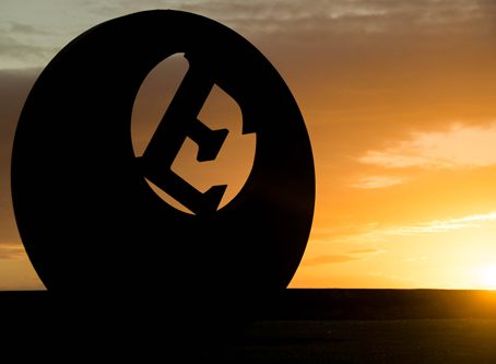
Burr Point
Burr Point is where the harbour is located at the southern end of the shore; it is the most Easterly point on the island of Ireland, marked by the Big E sculpture at the harbour carpark.
Just offshore of the harbour is Burial Island, which is a rocky little islet covered in seabirds - ( the name Burial Island is possibly derived from the Irish word 'Broighill', which means cormorants).
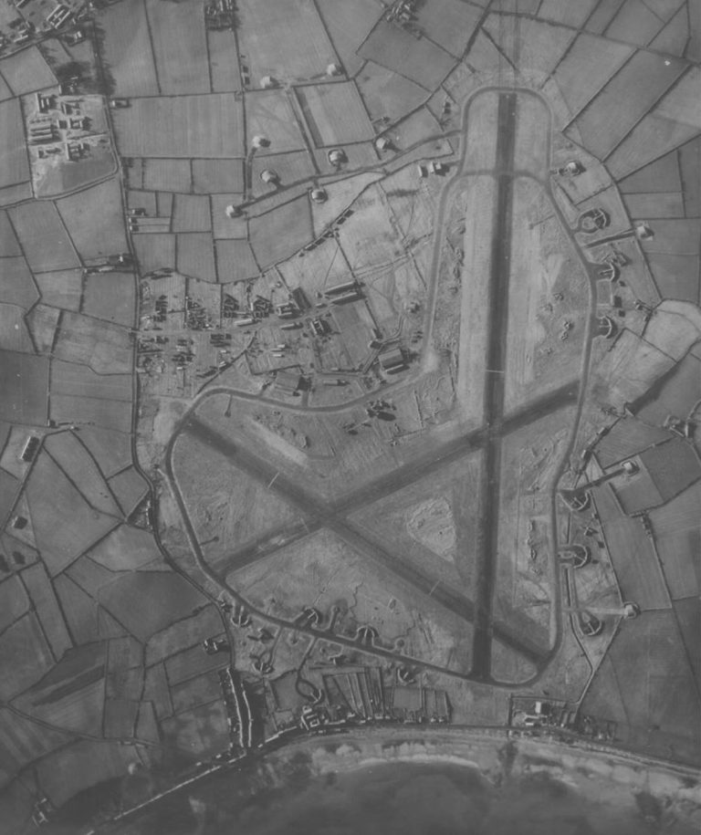
WWII Fighter Airfield
In Ballyhalbert's more recent history, it was the location of the key airbase that defended Belfast and the eastern half of Northern Ireland.
The airfield consisted of three runways, two hangers and a control tower; service personnel from Australia, New Zealand, Canada, USA, and Poland served here; and the base once hosted Supreme Commander of Allied Forces, General Eisenhower in May 1944.
The airfield is slowly being enveloped by residential housing, however you can still see the control tower and make out the extensive network of runways (check out the area on Google Maps satellite images to see the full extent of the old airfield).
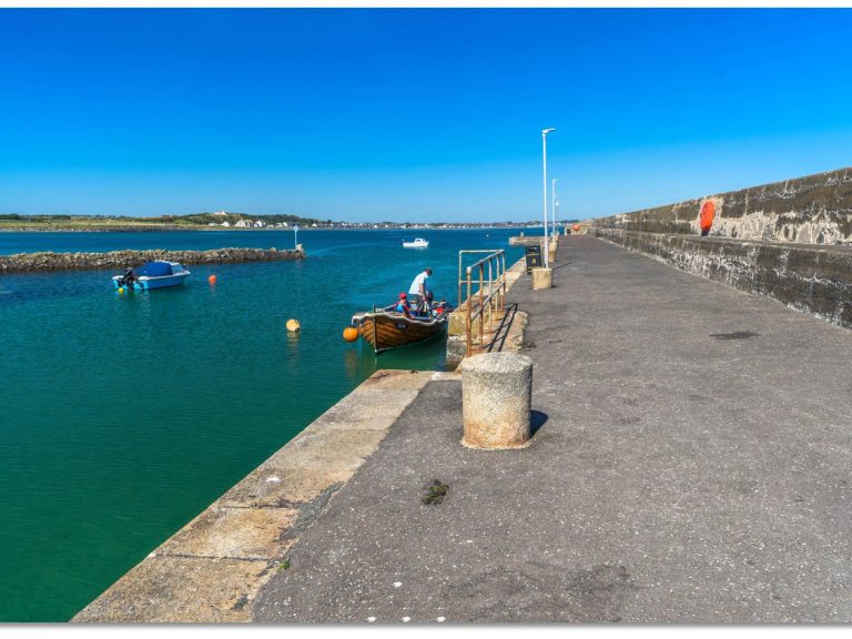
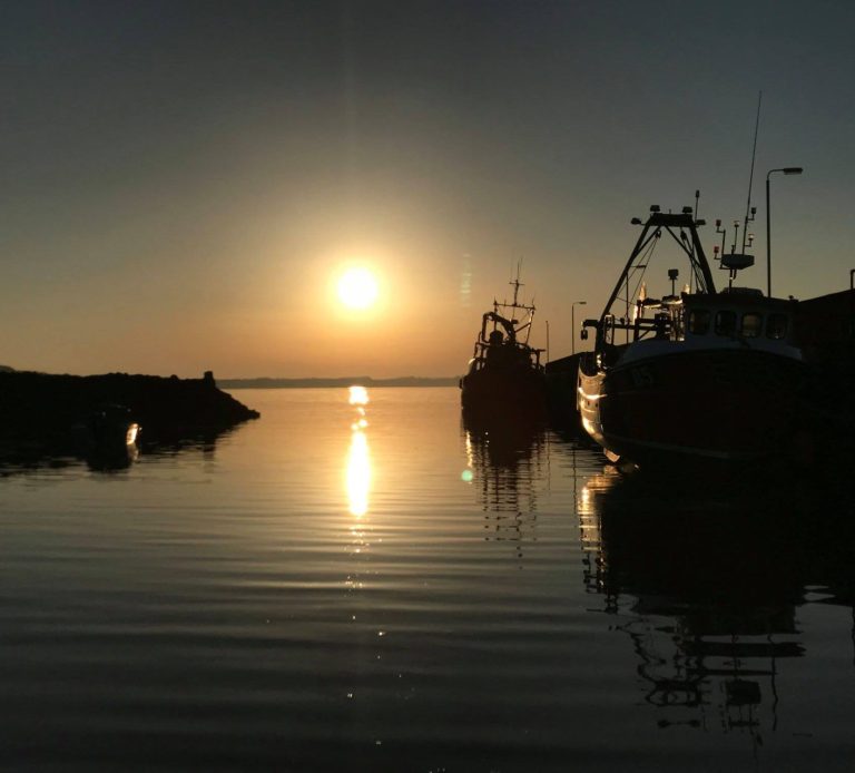
Ballyhalbert Harbour
The harbour is situated at the southern end of the wide bay.
It is a beautifully maintained Victorian harbour with a good pier and excellent slipway.
The harbour is tidal; however, when the tide is full it is a popular location for swimmers, fishers, and watersports enthusiasts.
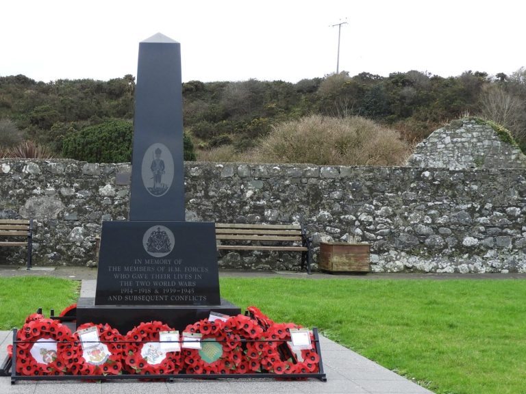
Ballyhalbert Graveyard
The graveyard is set back from the main road a little, just behind the War Memorial, as you travel towards Portavogie.
The old church is in ruins, the earliest record of the parish is in the Taxation of Pope Nicholas of 1306 at which time it was called Talbetona after the Talbot family who acquired land here in the Norman occupation after 1177.
The graveyard is large with burials on all sides of the ruined church, and inside it. The wall was built (or rebuilt) in 1852 and repaired in 1905.
The oldest headstone dates from 1716
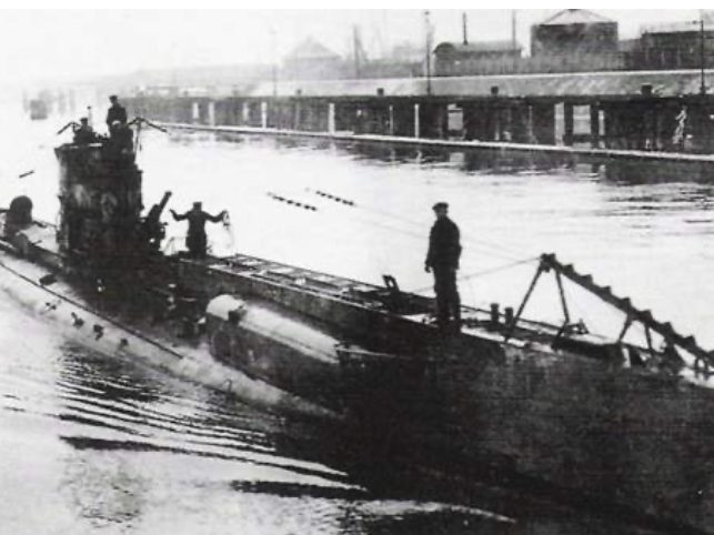
Below the water,...
In May 1917, during World War 1, German U-Boat UC65 captured four vessels, the Saint Mungo, Derrymore, Amber, and the Morion, and sunk all four of them in Ballyhalbert Bay.
Gallery


Directions
Ballyhalbert is located on the Irish Sea coast of the Ards Peninsula, between Ballywalter and Portavogie

website of the Ards Peninsula Villages Partnership ©Copyright. All rights reserved
We need your consent to load the translations
We use a third-party service to translate the website content that may collect data about your activity. Please review the details and accept the service to view the translations.